National Due Diligence Services provides a wide range of land surveying services intended to aid your property development, acquisition, or inspections. We are a dedicated team of professionals who help with various due diligence services such as Environmental Site Assessments, land surveys, property condition assessments, and more.
The Evolution of Land Surveying Technology
Land surveying methods have evolved to become more efficient, timely, and accurate. Technological advances continue to make various surveying duties more efficient and accurate, some of the most important being the use of GPS, drones, and Computer-Aided-Design (CAD) technology. Let’s look at how these methods differ and why some are preferable over others.
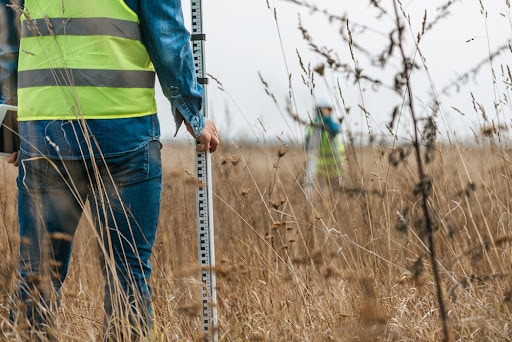
GPS
Utilizing a global positioning system (GPS) as a land surveying tool allows instantaneous access to a specific location and its distance and height measurements, as long as there is a clear view of the desired location. When used properly, GPS offers the highest level of accuracy compared to traditional surveying methods. However, while it does offer the highest level of accuracy, that’s only if there is a clear view of the area – so if the land is difficult to view from above, there may be better choices than this one. This method is also dependent upon costly equipment, so it’s not always an accessible option financially.
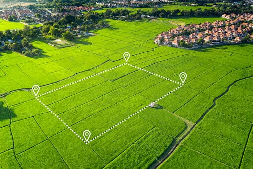
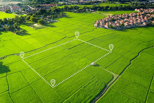
Drones
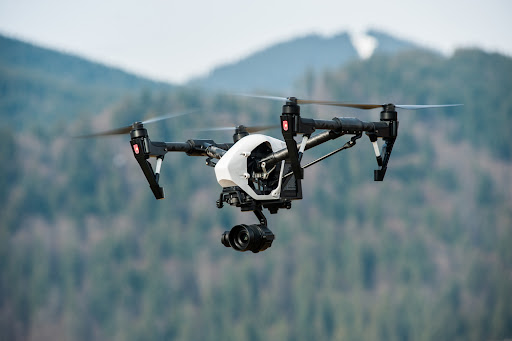
Drones have become one of the newest land surveying tools because they can obtain high-resolution aerial images of large land areas. Most drones are equipped with Light Detection and Ranging (LIDAR) lasers that allow them to collect these images and provide almost instantaneous imaging that can pinpoint precise locations of a desired area. While this is a beneficial tool, there are more regulatory limitations for this type of technology than other tools. They also can only function if the weather is cooperative, so there may be better options if the weather conditions are often disruptive in the area being surveyed.
CAD Technologies
CAD, or Computer-Aided Design technologies, are powerful tools in the land surveying sector, enabling the quick and precise creation of detailed property maps. They provide accurate representations of real estate properties down to the individual structures that may exist on the site. They not only accurately measure distances between structures, but also distinctly identify and define property boundaries. This proves particularly useful in real estate transactions, allowing agents to present a clear scope of the property, including any easements or rights of way. However, while CAD technologies offer invaluable capabilities, they require specialized training and education that may not be readily available to all.
How National Due Diligence Services Can Help You
We remain on the cutting edge of technology and process all services accurately and efficiently by utilizing GPS surveying equipment and UAV/UAS (Drone) systems to offer unparalleled land surveying solutions with precision and timeliness. We’re committed to delivering top-tier land surveying services, so we consistently invest in our skills and knowledge, staying ahead of the latest technological advancements. Contact us today to learn more.


