If you find yourself in the middle of a land dispute, we’re here to help. Our professional and efficient boundary surveys are intended to properly define your property lines and settle any discrepancies you may be facing with your property lines.
Boundary surveys are a component within an ALTA Land Title Survey that provide a deeper understanding of the property’s ownership. These surveys can be requested for several reasons: settling a land dispute, buying or selling land, and making renovations or additions.
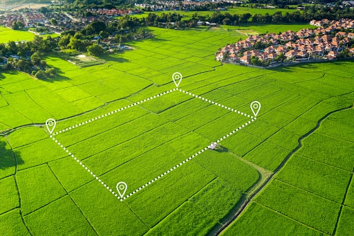 When starting a real estate transaction, boundary surveys are important to ensure your property is properly defined from the surrounding property. Land disputes often happen when there is a disagreement over the ownership, use, or boundaries of a piece of land. These disputes can involve multiple parties, including landowners, tenants, developers, and government entities, and if they aren’t settled quickly, they can lead to legal action. Boundary surveys are a perfect way to eliminate the disparity between property lines and ownership disputes. Here is some of the information a boundary survey provides:
- Clarity on Land Boundaries: A boundary survey helps define the exact location of property lines. Using historical deeds and legal documents, a boundary survey provides a precise representation of property lines.
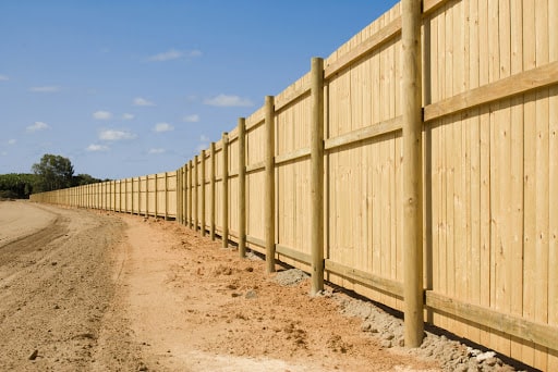
- Identifying Encroachments: Encroachments occur when a property owner violates the property rights of their neighbor by building something on or over the neighb
 or’s land, such as a fence, building, or driveway.
 - Legal Evidence: In cases where land disputes escalate to legal action, boundary surveys can serve as crucial pieces of unbiased evidence assisting in properly defining the property lines.
- Preventing Future Disputes: By establishing clear property boundaries, boundary surveys can help avoid future land disputes.
- Assisting in Land Development: For real estate developers, understanding the exact boundaries of a property can be crucial in planning new construction projects. Boundary surveys ensure these developers build within their property limits and only expand into property lines within their zoning.
How Is A Boundary Survey Conducted?
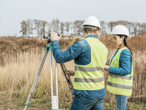
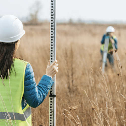
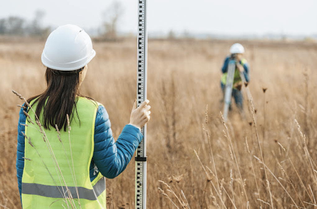
A boundary survey is conducted by one of our professional land surveyors, and the process as a whole can vary depending on the type of property and the reason for the request. Typically, surveyors begin with a site visit to your property. Here, they physically mark out property lines for measurement and carefully observe any neighboring properties. This helps identify potential encroachments, such as fences, driveways, or retaining walls, that might intersect the defined boundaries.
Once the initial site visit is complete, we’ll then research the property using public records such as title reports, deeds, easements, and historical maps that could enlighten us on the previously defined property lines. Once we gather all this information, we’ll compile it and the information collected from the site visit to create a report that properly defines the property lines. The report would be drafted as a legal document so it can be held up in court if legal action were ever taken.
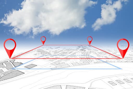
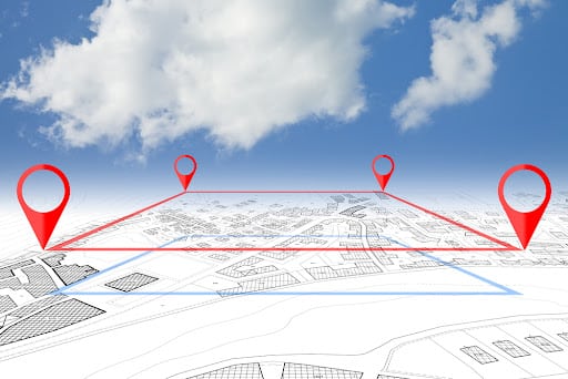
Evolving technology makes these boundary surveys even more accurate with tools such as drones, GPS equipment, and Computer-Aided-Design (CAD) Technologies. Drones provide aerial view maps that can instantaneously provide zoning guides of where property lines lay as long as weather conditions permit. GPS equipment is also a great resource for collecting accurate and instantaneous maps, but it can be more costly and run into issues if the surrounding land is overgrown. CAD Technologies provide 2D and 3D models of property lines that are a great asset for high-risk real estate transactions.
How National Due Diligence Services Can Help You
As a distinguished team with extensive industry experience, we have a deep understanding of surveying intricacies over the years. Our blend of expertise, precision, and dedication sets us apart and makes us your ideal choice for all your boundary survey requirements. Contact us today to learn how we can help you.
