Research & Development
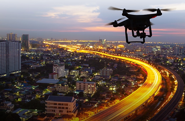
Our in-house Research & Development professionals continually strive to create and stay on top of the most current and innovative technologies. We believe in using technology to make work safer and more efficient. We have invested in Unmanned Aerial Vehicles (UAV’s) or Drones, simplifying the collection and analysis of geospatial data, allowing our professional clients to make better decisions, faster.

Survey-grade Accuracy
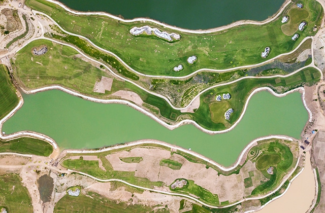
By acquiring raster data from the sky in the form of geo-referenced digital aerial image, with resolutions as sharp as 1.5 cm (.06 in) per pixel, we can gather millions of data points in one short flight allowing us to produce the most accurate and photorealistic orthomosaic and detailed mapping possible.

Faster & More Efficient
Greatly reduced time spent collecting accurate data means less time in the field even in the most inaccessible areas. No more waiting for a weather window or flight clearance. Large jobs that once took weeks can now be completed in just a few days.
Cost Effective
No more hiring a plane, a pilot and a photogrammetrist. With such a large increase of physical data being collected, this does mean an increase in office time processing the data. However, this increase is cancelled out many times over by the huge time savings in the field.
Ideal Sites for UAV Use
Hydro-electric Dams
Large Agricultural
Timber Farms
Large Industrial Complexes

